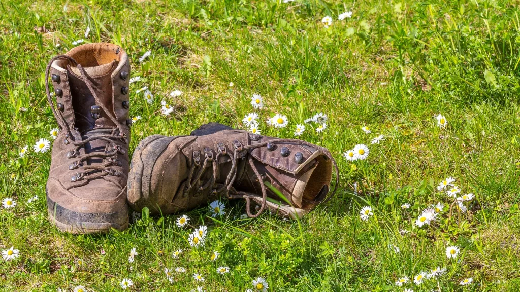
Bobenheim am Berg is a good starting point for hikes in the woods because of its location at the edge of the forest.
E.g., the Waldfroschweg (forest frog trail) starts in the village at a parking lot close to the forest. A tour suggestion through the Leiningerland and over Freinsheim leads directly through Bobenheim and can of course also be tackled right from here. In addition, several small circular trails start from the Krummbachtal hiking parking lot north of the village, and a large selection of circular tours begins in the neighbouring village of Weisenheim am Berg, less than a 15-minute walk away.
To make sure you don't lose your way on site, we recommend the official and free tour planner app from the state of Rhineland-Palatinate. Simply download it and get started.
Forest hike: Waldfroschweg - Bobenheim am Berg
Length and metres of elevation: <=> 4,2 km ▲▼121hm
Beautiful forest walk with slight inclines. The trail can also be connected with the circular hiking trails of Weisenheim am Berg or used as a feeder trail to the Ganerbenweg and further to the Pfaelzer Weinsteig.
We have prepared a detailed route description for you.
(for the English translation change languages in the top right corner of the appearing website)
Forest hike: Bobenheim am Berg - Battenberg - Krumbach valley
Length and metres of elevation: <=> 5.3 km ▲▼119 hm
Circular hike from the Krumbachtal hiking parking lot up to Battenberg and through the Palatinate Forest back to the starting point.
We have prepared a detailed route description for you.
(for the English translation change languages in the top right corner of the appearing website)
Hike through forest and wine: Weisenheim/Bg. - Bobenheim/Bg. - Ungeheuersee
Length and metres of elevation: <=> 12.5 km ▲▼195 hm
This circular hike leads you first through the vines from Weisenheim am Berg to Bobenheim am Berg and then through the forest to the "Ungeheuersee" (monster lake). This high moor lake is considered a botanical jewel box due to the rare plants found here and is a popular destination for excursions all year round.
We have prepared a detailed route description for you.
(for the English translation change languages in the top right corner of the appearing website)
Hike through forest and wine: Weisenheim/Bg. - Bobenheim/Bg. - Leiningerland - Dackenheim
Length and metres of elevation: <=> 17 km ▲▼224 hm
From Weisenheim am Berg the tour leads through Bobenheim am Berg and then uphill to Battenberg. From Battenberg you can enjoy magnificent views of the Rhine Plain. The trail continues through the forest back down to Kleinkarlbach. From here you hike a bit on the Eckbach-Muehlen-Path, past various mills to Kirchheim. Afterwards, the trail leads you through the "Golfgarten Deutsche Weinstraße" (golf course) and the village of Dackenheim and further through the vineyards back to Weisenheim am Berg.
We have prepared a detailed route description for you.
(for the English translation change languages in the top right corner of the appearing website)


